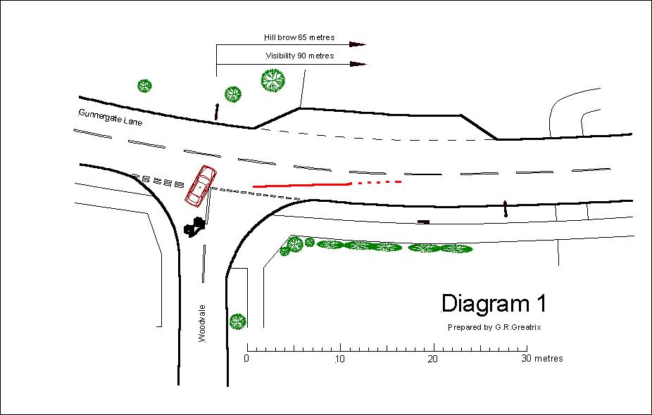
Scale plan preparation
The
site of the accident is surveyed and a scale plan is prepared from the
measurements obtained in the survey.
Survey
data is imported into a computer aided design programme and the plan is the
output from that programme.
Most
police forces are equipped with total station theodolites
and they sometimes produce accurate scale plans which are made available to
clients.
Site-centred
Ordnance Survey Superplans can be used as the basis
of a scale plan prepared in connection with an accident investigation. Ordnance
Survey plans do not include road markings nor street
furniture. That information has to be added to the plan along with accident
details such as tyre marks, debris, and vehicle locations.
Google
Earth and Google Street View are now invaluable sources of information about
accident sites.